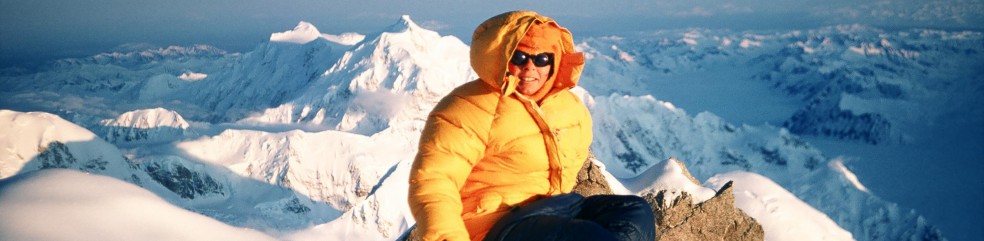
The beauty and majesty of the Canadian Rockies

Somewhere north of the Arctic Circle on the Firth River
It has been a strange few days. Friday evening, I landed in Edmonton after a month of river rafting in northern Canada. Monday, I drove the TransCanada Highway through Banff and Yoho National Parks. The contrast could not have been more sobering.
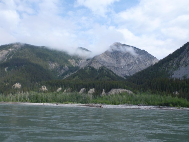
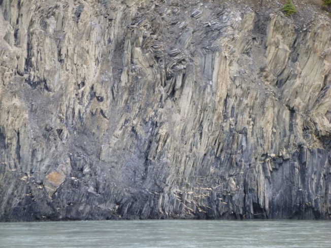
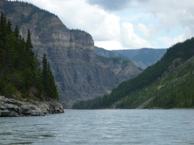
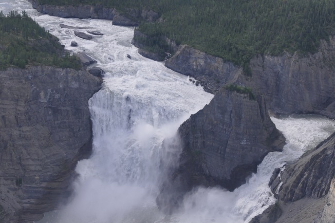
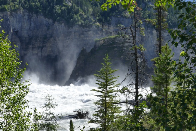
For twelve days, in July, fifteen other people and I rafted the Firth River, north of the Arctic Circle in Ivvivik National Park. This park, which receives fewer than 100 visitors a year, hugs the Yukon/Alaska border and ends at the Beaufort Sea. Apart from a few structures erected by Parks Canada and some laughable landing strips for planes that can set down virtually anywhere, there are no traces of modern humans, although the area does have a number of archaeological sites. In the 10,000 sq km of the park, we were alone.
No dispute: Ivvivik is wilderness in its purest form, almost unique on our planet.

Camp at Wolf Tors on the Firth River
For four hours on Monday, I drove through two of the most popular mountain parks in Alberta and B.C. My very conservative estimate of the number of vehicles I saw travelling toward me in that time is 7500. Assuming that a similar number were going in my direction, that’s 15,000 cars, RVs and trucks in one afternoon, all speeding along, their occupants perhaps enjoying the scenery, but just as likely thinking of other things.
Is this wilderness? Is this what we are preserving, supposedly in a natural state, for future generations to enjoy? What I saw in Banff and Yoho looked more like an invasion, like ants swarming over a prize food source. Isn’t bumper-to-bumper traffic too much love? And what of the trails that lead off the highway? When you have to move over to let faster hikers pass, you are not alone with Nature.

Camp in a meadow of wildflowers on the Firth River. No sounds but the river, the wind and the cries of birds.
The argument, of course, is that if people don’t see the beauty of our parks, they will have little interest in preserving them. And the mountain parks are spectacularly beautiful, even if you never get out of your car. To see the Firth, you need good organization, expert river guides, enough money to transport you and all your gear by air, and a willingness to camp in whatever weather the Arctic chooses to throw at you.
I came home today saddened because I don’t know the answer. Wilderness doesn’t survive when people arrive in large numbers. Do we have the wisdom and dedication to preserve it even if we cannot visit? But if we never visit, how can we know what wilderness is? I’m afraid that for many of the people I passed in Banff and Yoho yesterday, wilderness is good scenery with a road through it. But am I not a hypocrite? I wish that everyone could visit Ivvivik and see it as I have, but I don’t want them to.